Sunday, July 13, 2008

Home Stretch

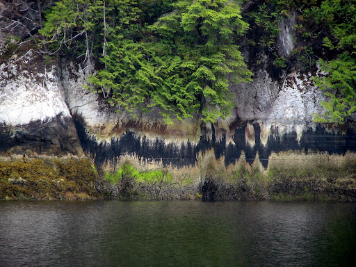
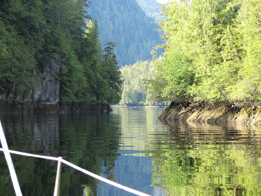
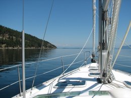
Ladysmith this way....
Monday July 14
Depart: Genoa Bay, Vancouver Island 0915
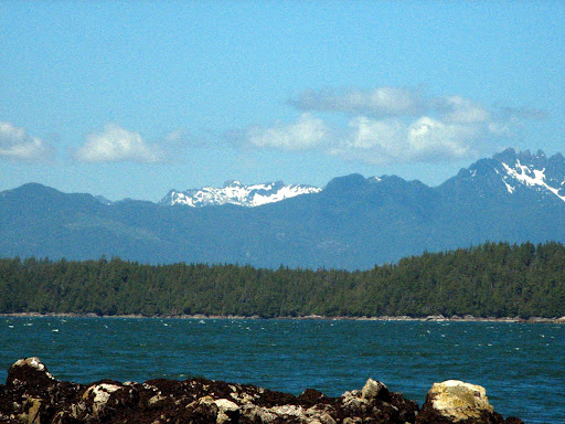
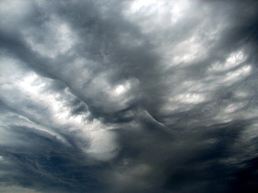
Scattered cloud, winds 3-5 knots increasing to 8-10 knots, 18 C
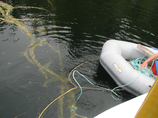
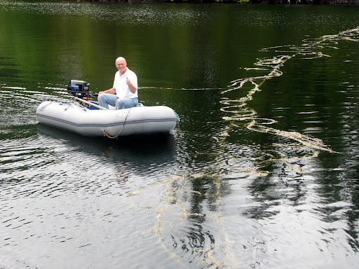
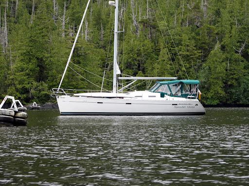
Arrive: Our dock, Ladysmith Harbour 1420
Trip Log: 927.4 nm
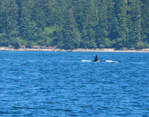
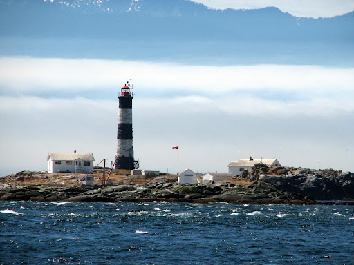
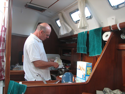
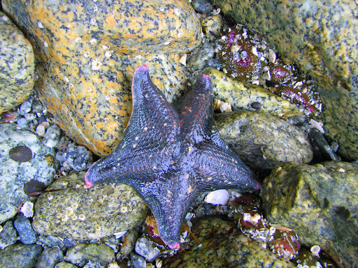
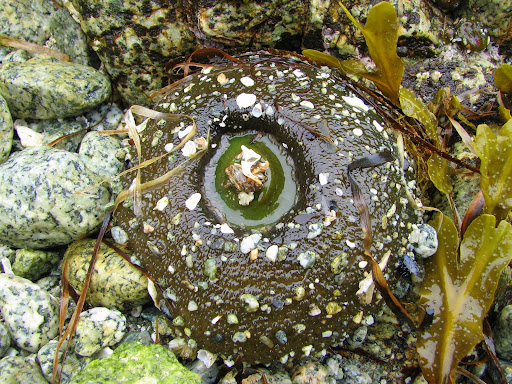
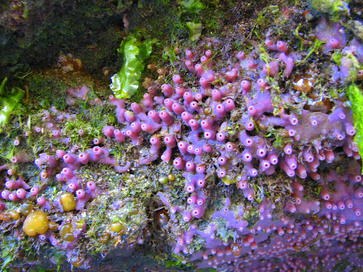
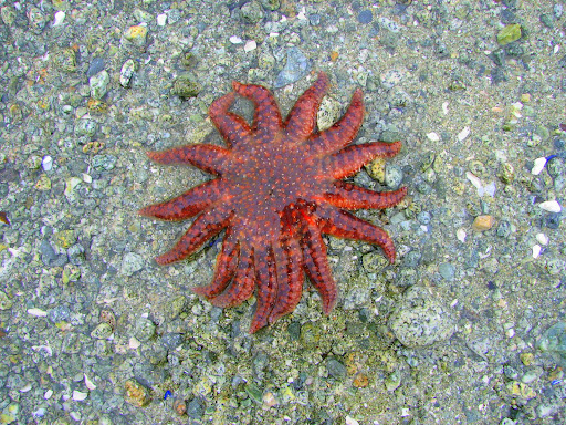
We are home! It was a great trip, I would recommend it to anyone. The weather was an issue the first half of the trip, but I am not sure that is the norm. As long as you are prepared, it really isn't that bad. Thanks to everyone who followed along with us, made comments (we read them all!) and encouraged us along the way. Being able to keep connected through this blog is important to us (and to many of you as well), and we will certainly keep it up through all our future journeys. We plan to take a few short trips in the next couple months (US San Juan Islands, Southern Gulf Islands, and if we have time, back up to Desolation when it is deserted)
Until the next time! ~~*~/)~~~
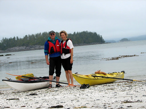
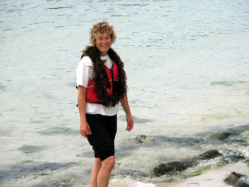
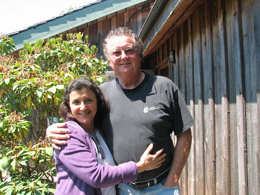
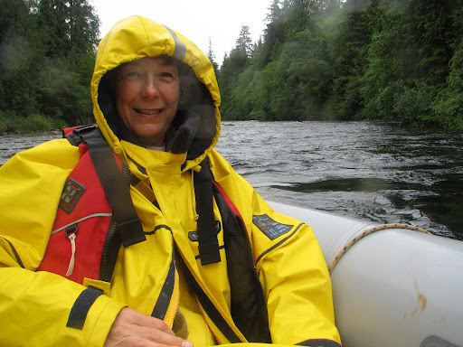
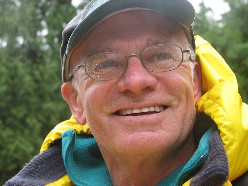
Kathy and Jerry

Sooke Basin to.... Genoa Bay, Vancouver Island

Orca, one of many in a pod we passed in Juan de Fuca

Light house at Race Rocks, near Victoria
Sunday July 13
Depart: Sooke Basin 0745
Clear, winds 15-25 17 C
We are currently sailing just past Victoria Harbour. We are having a fantastic day for sailing, haven't had to put the motor on except to get out of Sooke. There are lots of boats of all kinds around this area, we have to watch we don't run into anyone! We are not used to that.
Arrive: Genoa Bay, Vancouver Island 1930 Lat: 48 45.74Lon: 123 35.88
Trip Log: 904.1 nm
Another great day for sailing, we saw 30 knots around Race Rocks, with some pretty big swells (that turned us around), but once we rounded the end of the island, the winds died down and the swells disappeared. We are looking forward to a short trip home tomorrow.

Saturday, July 12, 2008

Exploring around Diana Island

These are some pictures I took while out in the dingy on Friday. We also saw some whales, I am not sure if they were humpbacks or greys, because they were not close enough and were not breaching or spyhopping where you can see their heads. But it was cool, nonetheless! I really enjoy seeing them. We found a cave (Jerry is standing on top of) and a little 'bonsai' tree, and lots of beautiful sandy beaches. All in all, it was a good day to hang around Barkley Sound.


Thursday, July 10, 2008

Into Juan de Fuca


Saturday July 12
Depart: anchorage near Diana Island, Deer Group 0645
Calm, clear, 18 C. Forecast NW winds 10-20 today
We are motoring south right now, heading towards Victoria. We are hoping the winds pick up so we can do some sailing, right now we only have about 2-3 knots, not enough to bother with the sails.
Arrive: Sooke Basin 2135 Lat: 48 22.19 Lon: 123 40.81
Trip Log: 844.5nm Day: 84.5 nm
We had a great sail the second half of the day... winds picked up to 25 ++ knots right behind us and we sailed smoothly all the way to Sooke, reaching speeds of 10 knots on the downside of the waves! We couldn't have asked for a better sail.

Leaving Barkley Sound before the sun got up.

Just before sunrise in the Broken Islands

Sunrise over Vancouver Island
Friday July 10
Depart: Gilbert Island Beach 0545
Calm, 17 C, clear sky
Stop: Bamfield for fuel, 90L @ $1.60 $144.00
Arrive: Dodger Channel, near Diana Island, Deer Group 1035
Lat: 48 49.98 Lon: 125 11.65
Our plan this morning was to head south and arrive in Sooke (about 70 miles) late this evening, but the winds shifted and were very light, not good for sailing. So, we will try again tomorrow, the forecast is for favorable winds.
We are anchored in a small channel between two islands in the Deer Group, just outside of Bamfield. The weather is beautiful and sunny.

Tuesday, July 8, 2008

Gilbert Island, Broken Islands

View of snow on mountains on Vancouver Island from our anchorage at Gilbert Island.


Thursday July 10
Depart: Nettle Island anchorage 0900
Arrive: Gilbert Island 1230
Trip Log: 750.7 nm Lat: 48 52.46 Lon: 125 19.21
We did not arrive at this anchorage very gracefully. We shortened our painter by about 10 feet! Or for those of you that don't know boatspeak, the rope that ties the dingy to the boat when you are towing it (called the painter, and don't ask me why), normally behaves quite well when we are putting the anchor down, but on this particular day, it decided the best place for it would be under the boat and around the propeller. Consequently, I had to get in the water, and untangle it from around the prop, but we had to cut it before we could get it off and that is why it is about 10 feet shorter now. Oh well, those things happen!
We are nestled in close to Gilbert Island, near a nice sandy beach as the winds howl all around us except for on our little private beach. (Actually it is not really private because this is the kayak campsite.)
Sunset in the Broken Islands

Nettle Island, Broken Group


Wednesday July 9
Depart: Joe's Bay 0900
Arrive: Nettle Island anchorage 1000 Lat: 48 55.86 Lon: 125 15.40
Trip Log: 742.9 nm Trip: 3 nm
Quick trip today to re-position ourselves for more kayaking exploring. We are near Nettle Island, the northern most island of the Broken Group. The day turned out to be another beautiful day after starting with thick fog. It is actually getting pretty hot, over 30 in the sun. On our kayak tour, we came across a cave that would normally have been mostly flooded except for the fact it was low tide.

Kayaking in the Broken Islands, Barkley Sound

Splendid Mane in Joe's Bay near Dodd Island
Our first stop on Trickett Island
Seaweed feather boa.

Tuesday July 8
We are staying put today, getting the kayaks in the water to do some exploring around the Broken Islands. Low tide was at 11:00 this morning, so we tried to get out on the water to a little before that to be able to see below the tide line. Jerry said he likes high tide better because then you can see what is on the beach. The winds started to kick up in the afternoon, but we were on the up wind side away from our anchorage, so it was a nice ride back to the boat, surfing down small waves and just letting the wind carry us all the way back.

Visiting Bamfield

Rick and Rosita at Seaview in BamfieldYoshi, Rick's dog, waiting for us to throw her a stick.
Monday July 7
Depart: Bamfield Harbour 1420
Arrive: Joe's Bay, near Dodd Island, Broken Islands Barkley Sound 1845
Lat: 48 55.08 Lon: 125 19.62
Trip Log: 738.5 nm Day: 17 nm
We had a wonderful visit yesterday and today with Rick and Rosita. They treated us to dinner, sleepover, breakfast, and lunch. And we finally got to meet Rosita whom we have heard so much about. Rick even went out and caught us a fish for dinner! After lunch, Rick took us back out to Splendid Mane, and we sailed over to the Broken Islands... a perfect sail with just the right wind.

Sunday, July 6, 2008

Barkley Sound


Splendid Mane got her first taste of some pretty good swells today... mostly in the neighborhood of 5 meters. We had a beautiful sail down from Tofino to Ukee, this is what we have been waiting for!
Sunday July 6
Depart: God's Pocket 0730
Winds 10-20 knots, mostly clear sky, 18 C
Arrive: Ukee 1500
We took a quick tour around the inlet and then decided to move on towards the Broken Islands in Barkley Sound. Sent a quick email to Rick (in Bamfield) and he has invited us for dinner and then to sleep at his house tonight! So we are heading for Bamfield right now and should be there about 6:00 or so.

Saturday, July 5, 2008

Still stuck in Tofino


Saturday July 5
Depart: Duffin Cove 0730
Arrive: God's Pocket, Meares Island 0830
We had a very rough night in Duffin Cove and the weather this morning was horrible, and the forecast is for more of the same in addition to gale winds on the outside. So, we are going to spend the day in a calm cove, relaxing, catching up on some sleep and then head to Ukee tomorrow (the forecast seems a bit more promising). We are drying out the boat and all our fowl weather gear, the sun came out for about 1 hour!

The shoreline in Tranquilto Cove, Tranquil Inlet at low tide.

Friday, July 4, 2008

On The Ropes in Island Cove


Sometimes unexpected things happen, and they are always a learning experience. Last night we were looking for a place to put the anchor down. Usually Jerry scopes the locations out first, and as he was looking ahead, I spotted something in the water that did not look right. In an instant, we had run over a rope that had been strung across the little cove we were eyeballing. We threw the throttle into reverse, but too late, we were already over top the line. So, we got into Tail, and tried to pull the rope back under the keel without luck. After struggling with it for 2 minutes, we decided the best thing to do was just cut the rope. Fortunately, that was all it took (I was not looking forward to going in the water to cut it off the prop!) and we backed away and put the anchor down. Afterwards, we pulled the two cut ends away from the inside of the cove and onto the shore so it wouldn't happen to another unsuspecting boater. Afterwards, Jerry got busy in the kitchen making Rice Krispie Squares..... yummmmmm.

Kennedy River to Duffin Cove

Shoreline near entrance to Kennedy Cove just before high tide.

Motoring up Kennedy River in our dingy we call Tail.
You can see from this picture that it was raining.

Friday July 4 (HAPPY 25TH BIRTHDAY TO VINCENT!!!!!!)
Depart: Island Cove 0800
Misty, rainy day. 20 C
Arrive: Duffin Cove: 1800 Lat: 49 09.05 Lon: 125 54.75
Trip Log: 656.6 nm Day: 24.3 nm
We didn't go far from Tofino today, but spent the time exploring Tofino Inlet. Unfortunately, the weather was not very co-operative, but we did manage to get out in the dingy and motor up the Kennedy River which was really cool. We were there at high tide, so the trees were dragging their branches right down to the water level, and with the warm rain dripping, we could almost imagine that we were floating down the Amazon, listening to the birds and keeping a sharp eye out for crocks.

Thursday, July 3, 2008

What is it?


Thursday July 3
Depart: Adventure Cove 0930
Overcast, light winds 17 C
Arrive: Island Cove 1600 Lat: 49 08.68 Lon: 125 46.09
Trip Log: 632.3 nm
Have a close look at the picture above and tell me what you see. Also, do you know what it really is?

Adventure Cove, Meares Island


After watching the black bear at low tide on the beach in Bottleneck Cove, we have determined that he has actually set up crab traps and he comes to check on them at low tide. These rocks were all lined up at the same level on the beach, and the bear stopped at each one, turned it over, keeping it along the same level, and ate whatever he found under it. There was another row of rocks a little further along the same beach, and he looked under each one. Hmmm.. you never know, do you?

Wednesday July 2
Depart: Bottleneck Cove 0830
Mostly cloudy, small bits of sun coming through 17 C
Arrive: Adventure Cove 1600 3.5 miles NE of Tofino
Trip Log: 618.4 nm

Hot Spring Cove


Tuesday July 1
Depart: Hesquiat Harbour 0700
Overcast, foggy, 17C
Stop: Hot Spring Cove 1015
We wanted to get to the hot spring a little earlier to try to beat the crowds, but did not get organized in time. As it was, there was only maybe about 10 other people in the hot spring when we got there, instead of 20 or more as we have heard. It is not a very big hot spring, I don't even think 20 people would be able to be there at one time! The best thing about the stop was the beautiful boardwalk that has been built by the park. It is 2 km long, and all very nicely done in cedar planks.
Back at the boat, we had lunch and then pulled up the anchor to find a quiet place for the night.
Arrive: Bottleneck Cove 1600 Lat: 49 26.75 Lon: 126 12.99
Trip Log: 588.9 nm Day: 23.1nm
Bottleneck Cove is just like it sounds.... the entrance is like going through a wine bottle neck and then it open out to a very beautiful quiet cove. And of course, it has the resident black bear as well. We watched him scrounge the beach at low tide for crabs and such.

Wednesday, July 2, 2008

What the Sun Dog brings....

This is a thunder and lightening storm.... very nasty.
Monday June 30
Depart: Bligh Cove 0845
Very big thunder storm brewing to the NW. No prawns for dinner.
Arrive: Hesquiat Harbour 1615 Lat 49 25.24 Lon: 126 28.77
Trip Log: 565.8 nm Day 33.4
This was a very tiring day on the water. The wind seemed to want to push us away from where we wanted to go, so we ended up having to motor most of the day, bucking some pretty big waves making it very uncomfortable. Once we had the anchor down, all we wanted to do was sleep.

Bligh Cove

This was a most unusual sight we encountered while on our trip today. Around the sun was a 'sun dog' but then off to one side was this arc of rainbow and then there was another arc, the exact mirror of this one, but not as brilliant, right next to it. Not only that, but another 'bright spot rainbow' was part of the array as well. The sight of a sun dog around the sun usually means that bad weather is coming tomorrow, but with the rainbow there, we are not really sure that is the case here. Really cool, and very hard to describe as you can tell!
Sunday June 29
Depart: Zeballos 0600
Clear blue sky, 17 C ... need I say more?
Arrive: Bligh Cove, Bligh Island 1615 Lat: 49 39.06 Lon: 126 31.22
Beautiful sailing day... couldn't ask for anything better.
Trip Log: 535.1 nm Day 14.7 nm
We put the prawn trap down again, this time at 300'... maybe we will catch some for dinner.

Zeballos, Vancouver Island

Fog just lifting in Queen Cove
Saturday June 28
Depart: Queen Cove 0900
Clear blue sky, 15 C! It is our most beautiful day yet!
Arrive: Zeballos 1300
Fuel: 88L $150.50 Hrs: 1253
Propane in small tank, both water tanks full.
This is our provisioning, fueling, watering and laundry stop. We also treated ourselves to dinner (really yummy halibut and chips) out at the local pub... the only place in town, really! We enjoyed the company of the guys from the Essex Girl (another Benneteau ), Chester, Neil and Rob. They are from West Van and are also circumnavigating the island, although I think they are moving a bit faster than we are.

Jerry will try to haul anything home!

On this one, I said No!

Friday June 27
Depart: Dixie Cove, 0815
Overcast, but not raining. 15 C. The weather still seems to be improving, at least it is getting warmer.
Stop: Yellow Bluff Bight 1230 for lunch and beach crawl.
Arrive: Queen Cove 1730
Trip Log: 486.6 nm Day: 21.5 nm Lat: 49 52.69 Lon: 126 58.99
All of our anchorages have been very quiet, we hardly ever see another boat, and rarely are they in the same cove as us. The people we do get a chance to talk to have said that the season really hasn't gotten started yet, but also they have noticed traffic is down this year.

On to Dixie Cove


Thursday June 26
Depart: Steampot Cove 0800
Rainy, foggy 13 C... we are back to yukky weather, but I think this is only temporary.
Arrive: Dixie Cove, Hohoae Island 1030 Lat: 50 03.21 Lon: 127 12.23
Trip Log: 462.9 nm
This picture was taken a few days earlier... as you can see, when the sun was out. During our beach combing trips, we never fail to find at least two running shoes, and many many thongs. If you haven't been on a deserted beach lately, you would not believe the junk that is out there.

Steampot Cove

This is an old Steam Donkey, used for logging. It was left behind after all the trees were gone in this area many years ago. Nature has put everything back as it should be.
Wednesday June 25
Depart: Claninick Cove 1215
Some sun, some clouds 16 C!! It seems the weather has changed, we are starting to feel like summer! Yeah!
Arrive: Steampot Cove 1515 Lat: 50 06.28 Lon: 127 16.46

Exploring Bunsby Islands


Some of the shore life in the Bunsby Islands

Thursday June 24
Depart: Scow Bay 1500
Drizzly, low cloud, foggy, misty and raining. What a nice day!
Arrive: Claninick Cove 1730 Lat: 50 02.12 Lon: 127 24.87
Before we left Bunsbys, we went exploring. This is kayak heaven.... very sheltered, but wild at the same time. The whole area is a park and the only way to get here is by water. We didn't see another soul until we were leaving... a couple kayakers had set up came on a sheltered beach.

Our friend in the Bunsbys

This black bear hung around the little cove where we anchored all day.
Monday June 23
Depart: Columbia Cove 0730
Another sunny day, some scattered clouds, 12 C (switch water tank)
Arrive: Scow Bay, Bunsby Islands 1130 Lat: 50 06.27 Lon: 127 30.96
Trip Log: 419.7 nm
A short trip today, but we wanted to check out this area before we went on. After dinner, we decided that the anchor chain was making an unusual amount of noise as it dragged across a rock, and not sounding the way it usually does when it drags. So, as an after dinner activity, we pulled the anchor up, but it did not come easily. After tugging, yanking, and heaving, we figured we had the chair wrapped around a rock and as it shimmied up and down the rock it was making a vibrating noise right through the rigging on the boat. Our solution was to use the dingy to pull the anchor out of the mud and then around the rock (reverse the direction it was laid). It worked, much to our relief. We then reset the anchor, and slept very soundly!

Columbia Cove

Entrance to Columbia Cove

Splendid Mane tied to a mooring buoy in Columbia Cove

Sunday June 22 (HAPPY BIRTHDAY TO BECKY!!)
Depart: Klashkish Basin 0845
It looks like it will be a very nice day on the water. The sky is mostly clear with just a few scattered clouds, 10 C and a light wind. We stop for breakfast at the entrance to Klashkish, enjoying the sunny warm weather.
Arrive: Columbia Cove 1415 Lat: 50 08.38 Lon: 127 41.40
Trip Log: 418.0 nm

South to Brooks Peninsula

Saturday June 21
Depart: Gooding Cove 0800
Very foggy, winds calm, 12 C
Arrive: Klashkish Basin 1415 Lat: 50 15.32 Lon: 127 43.97
Trip Log: 390.6 nm Day: 19 nm
Klashkish Basin in just on the north side of Brooks Peninsula. On our trip today we saw a couple brown pelicans, some minke whales and lots of sea otters and seals.