Showing posts with label Smith Inlet. Show all posts

Monday, September 26, 2011

On to Fury Cove, Rivers Inlet

Sunday August 7, 2011
exit Beaver Cove
anchor Fury Cove 51 29.29N, 127 45.62W
It was easier taking pictures of the loons than trying to get a good on of the humpbacks.

Our crab trap was totally empty, not even a starfish! Oh well, I am an optimist, and I know we will catch one sooner or later. Beautiful day for cruising and as we rounded the corner to head into Rivers Inlet, we spotted a humpback whale, then another one and then noticed they were everywhere. And because there were so many, we could actually smell them... they smell awful! Of course, we had to stop and watch for awhile. I got out my camera and as usual, the only pictures I got were of water.... you know, after the whale disappeared!
We got anchored in popular Fury Cove and shortly after Peter and Roma arrived as planned in Invictus. Now we are two!

Beaver Cove

Saturday August 6, 2011
exit Boswell Cove
anchor Beaver Cove 51 33.06N 127 35.99W
Leaving Boswell Cove just as the sun was coming up.
Smith Inlet was home to 16 salmon canneries during the early to middle 1900's... this is all that remains of one.
Another pier from a different cannery site, nature is reclaiming her territory.

Did a bit of sailing today. The wind seems to come up around noon and then blow pretty good up Smith Inlet.
Mom went down for an afternoon snooze and we almost rolled her out of bed when we went to tack... oops! That woke her up pretty quick. Tried a bit of fishing, but nothing of any size was biting. We put the crab traps down in our little anchorage and then another boat came into Beaver cove and put one down too. This made us a bit hopeful that our trap would have something in it in the morning. Sure would be nice to have a Dungeness crab dinner tomorrow!

Friday, September 23, 2011

Boswell Cove, Smith Inlet

Friday August 5, 2011
exit Ahclakerho Islet anchorage
arrive Boswell Cove 51 22.50N, 127 26.51W
Leaving Ahclakerho Islet.
We had put the prawn trap trap down in the entrance to Ahclakerho Channel in about 250 feet, marked the spot on our GPS but when we got there this morning, it was gone. When a trap disappears, there are only three things that could happen: it was stolen, the rope came undone or it drifted away. We didn't think it could have been stolen because no one else is around. So we assumed the rope came undone and that maybe we would see the float somewhere. I got out the binoculars and started scanning and there off in the distance, about a mile away, I could see what I thought might be a float. Getting closer we could see, that yes, it was our float. So thinking that it would have 350 feet of yellow line floating near it, Jerry got in Tail and motored over while I stayed away with the boat, not wanting to get any line tangled in the prop (has happened too many times already). When he got there, he was surprised to see that the trap was still attached! So, for the first time, we have had a prawn trap just drift away and now we know we will have to pick our sites more carefully in the future. Unfortunately, there was not a single thing in the trap.

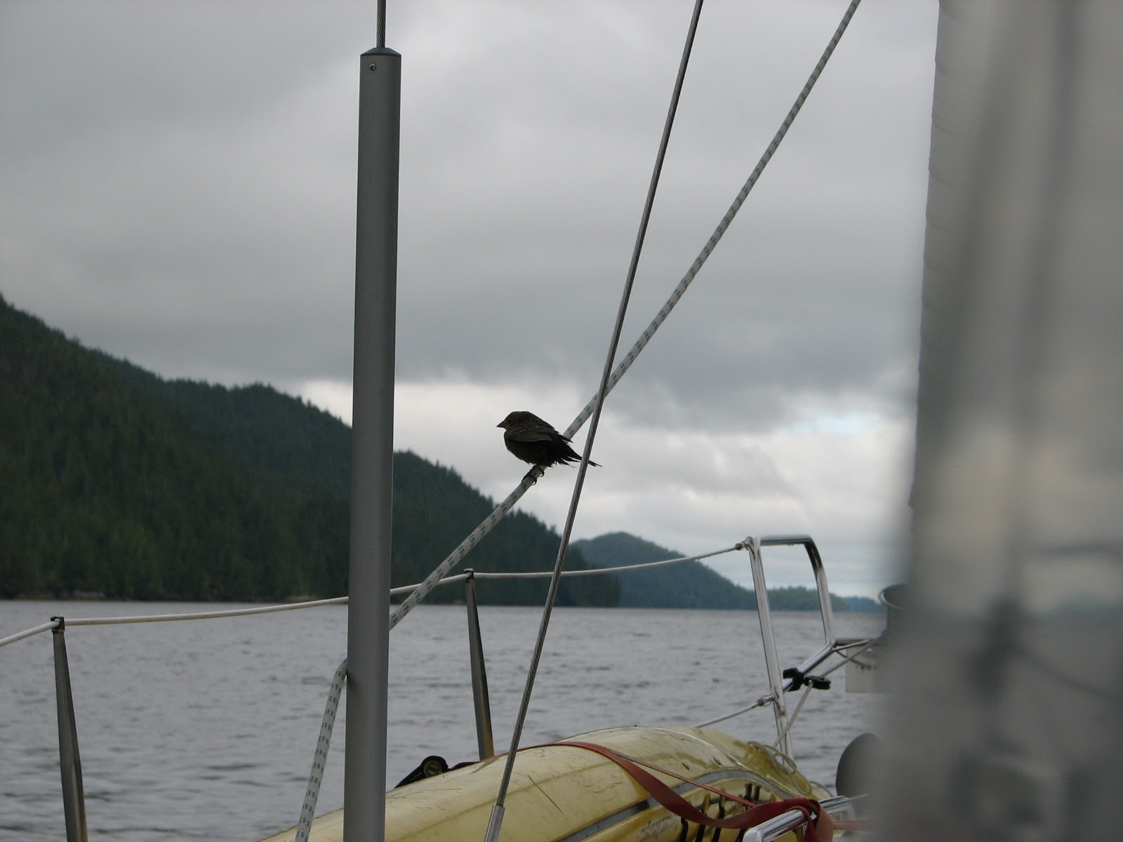
A visitor on our way to Boswell Cove, stopped for a rest.

After leaving Ahclakerho Channel, we stopped for lunch in a little nook aptly named Finis Nook. There is really only room for one or two boats and it is almost completely surrounded by land except, of course, for a very narrow entry. Jerry and I got in the dingy, Tail, and left mom to relax and read, while we explored. Around the corner we found exactly what we have been looking for! A fixer upper!

Fixer upper in Finis Nook.

Off again, we ventured further into Smith Inlet and end up in Boswell Cove. So peaceful and the water was so nice a warm, we went for a swim. Quiet, peaceful and warm.
Monday, September 19, 2011

The beautiful Ahclakerho Islets

Thursday August 4, 2011
exit Anchor Bight, Indian Island
anchor: Ahclakerho Islet 51 16.45N, 127 27.80W
Pulled up the prawn trap and as usual it was totally empty. I am thinking we are either getting too deep or not deep enough. Who knows?
Pictograph in Ahclackerho Channel, looks something like a bug. Cool, eh?

Off to Ah-clack-er-ho Islands, Prideaux Haven without the crowds. We motored-sailed most of the day, still in Smith Inlet, then down through Ahclackerho Channel where we passed a humpback whale on his way out and the pictograph pictured above.
Seagulls line up to roost for the night.
We didn't see another boat the whole day. Our companions were the whales, birds and seals.


Tuesday, September 13, 2011

Exploring Smith Inlet

Wednesday August 3, 2011
Exit Walker Group
Arrive Anchor Bight, Indian Island 51 17.14N, 127 38.38W

A starfish and limpets.
Our fist venture into Smith Inlet. It is beautiful and quiet. This is the traditional territory of the Gwasilla tribe and we have anchored in a small cove off Indian Island. Upon closer inspection, we realized that it is an old site of an Indian village. We waited for low tide, then took the dingy over and had a look around. The site was only abandoned back in the early 1960's, but nature is reclaiming her territory. Trees have grown up so thick it would be next to impossible to go ashore and explore. The middens we saw were over 6 feet thick on some edges that are being washed away by the sea.
We dingyed over to the center of the bay and plunked the prawn trap down in about 250 feet of water (we think).