Showing posts with label Vancouver Island West Coast. Show all posts

Friday, July 31, 2009

Cordova Bay to home, Ladysmith


Walking the dogs on the beach in the fog.

Wednesday July 23, 2009
Leave: Cordova Bay 0830
An early start to try to catch the current going north through Sansum Narrows, we are not in a hurry to get home, but it is much more efficient if we can have the current helping through the passage, rather than try and fight it. We seem to be running ahead of the fog for the most part, heard several 'mayday's' from other sailboats (both had hit bottom on a falling tide!).
Arrive: Ladysmith Harbour 1800
Trip Log: 344.3 nm


Wednesday, July 22, 2009

Dodger Passage to Port San Juan


Sunset in Port San Juan

Monday July 20, 2009
Leave: Leave Dodger Passage 0530
Arrive: Mill Bay, Port San Juan
The morning started off very badly as we hit the bottom of the keel on a rock and then the rudder also hit a rock. We have done something to the rudder, but the extent of the damage will have to wait until we get home and have a look. I am sure we are going to be hauling out in the near future to do some repair.
But the rest of the day, went not too badly. It was choppy but not windy to start, but as we moved away from Barkley Sound, the chop died off, and the swells evened out.

Friday, July 10, 2009

Becher Bay to Barkley Sound, Dodger Channel


Our anchor collected some 'stuff' overnight! This was the biggest glob of seaweed we have ever collected in one short night.

Friday July 10, 2009
Leave: Campbell Cove 0520
We got an early start because we were rudely awoken by all the recreational fishermen zooming by in their boats! Oh well, it was just as well, because then we will just make it a super long day and get all the way to Barkley. It is almost lunch time right now and we are past Port Renfrew and almost even with Cape Flattery on the Olympic Penninsula.
No wind yet and we have the current going with us.
Arrive: Dodge Channel, between Diana Island and King Edward Island 1845
Lat: 48 50.05 Lon: 125 11.69
Trip log: 145.5 nm
Today was a battle from after lunch until we put the anchor down. The winds picked up to 25 knots almost straight on, and the waves were 2 meters. We motor-sailed all afternoon, and are now exhausted and ready for bed! Jerry is already asleep.
Tomorrow we get to sleep in, enjoy some down time and then get the kayaks out!

Thursday, July 9, 2009

Portland island to Campbell Cove in Becher Bay


Sun coming up this morning over the sailboats anchored near Sidney Spit.

Thursday July 9, 2009
Leave: Princess Cove, Portland Island 0645
So far, no wind, but forecast is for 15 -20 knots this afternoon, coming straight at us. We are getting an early start to try and avoid the winds.
Arrive: Campbell Cove 1320
Trip log: 68.0
Lat: 48 19.65 Lon: 123 37.83
Beautiful open bay, protected from the 15-20 knot westerly winds whipping through Juan de Fuca Straight. The water here is so clear, we could see our anchor chain laying on the bottom 16' down. The sun is out and it has turned into a beautiful day.
Tomorrow we plan another early start to beat the wind again and have the currents going in the the same direction we to give us a boost.

A little reminder of home!

Wednesday, July 2, 2008

Zeballos, Vancouver Island

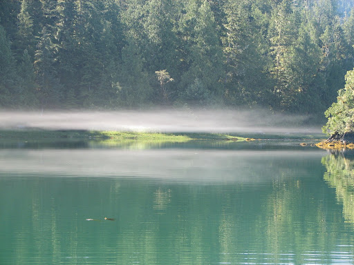
Fog just lifting in Queen Cove
Saturday June 28
Depart: Queen Cove 0900
Clear blue sky, 15 C! It is our most beautiful day yet!
Arrive: Zeballos 1300
Fuel: 88L $150.50 Hrs: 1253
Propane in small tank, both water tanks full.
This is our provisioning, fueling, watering and laundry stop. We also treated ourselves to dinner (really yummy halibut and chips) out at the local pub... the only place in town, really! We enjoyed the company of the guys from the Essex Girl (another Benneteau ), Chester, Neil and Rob. They are from West Van and are also circumnavigating the island, although I think they are moving a bit faster than we are.

Jerry will try to haul anything home!

On this one, I said No!

Friday June 27
Depart: Dixie Cove, 0815
Overcast, but not raining. 15 C. The weather still seems to be improving, at least it is getting warmer.
Stop: Yellow Bluff Bight 1230 for lunch and beach crawl.
Arrive: Queen Cove 1730
Trip Log: 486.6 nm Day: 21.5 nm Lat: 49 52.69 Lon: 126 58.99
All of our anchorages have been very quiet, we hardly ever see another boat, and rarely are they in the same cove as us. The people we do get a chance to talk to have said that the season really hasn't gotten started yet, but also they have noticed traffic is down this year.

On to Dixie Cove


Thursday June 26
Depart: Steampot Cove 0800
Rainy, foggy 13 C... we are back to yukky weather, but I think this is only temporary.
Arrive: Dixie Cove, Hohoae Island 1030 Lat: 50 03.21 Lon: 127 12.23
Trip Log: 462.9 nm
This picture was taken a few days earlier... as you can see, when the sun was out. During our beach combing trips, we never fail to find at least two running shoes, and many many thongs. If you haven't been on a deserted beach lately, you would not believe the junk that is out there.

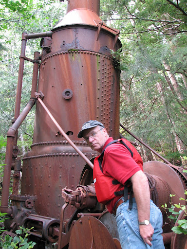
Steampot Cove

This is an old Steam Donkey, used for logging. It was left behind after all the trees were gone in this area many years ago. Nature has put everything back as it should be.
Wednesday June 25
Depart: Claninick Cove 1215
Some sun, some clouds 16 C!! It seems the weather has changed, we are starting to feel like summer! Yeah!
Arrive: Steampot Cove 1515 Lat: 50 06.28 Lon: 127 16.46

Exploring Bunsby Islands


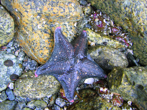
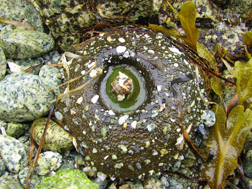
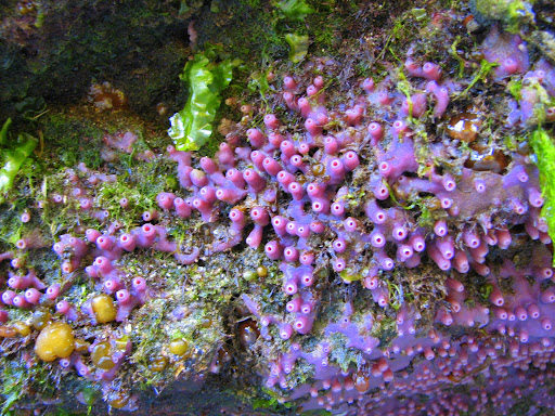
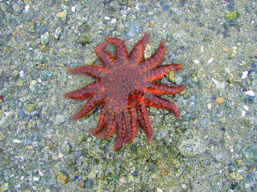
Some of the shore life in the Bunsby Islands

Thursday June 24
Depart: Scow Bay 1500
Drizzly, low cloud, foggy, misty and raining. What a nice day!
Arrive: Claninick Cove 1730 Lat: 50 02.12 Lon: 127 24.87
Before we left Bunsbys, we went exploring. This is kayak heaven.... very sheltered, but wild at the same time. The whole area is a park and the only way to get here is by water. We didn't see another soul until we were leaving... a couple kayakers had set up came on a sheltered beach.

Our friend in the Bunsbys

This black bear hung around the little cove where we anchored all day.
Monday June 23
Depart: Columbia Cove 0730
Another sunny day, some scattered clouds, 12 C (switch water tank)
Arrive: Scow Bay, Bunsby Islands 1130 Lat: 50 06.27 Lon: 127 30.96
Trip Log: 419.7 nm
A short trip today, but we wanted to check out this area before we went on. After dinner, we decided that the anchor chain was making an unusual amount of noise as it dragged across a rock, and not sounding the way it usually does when it drags. So, as an after dinner activity, we pulled the anchor up, but it did not come easily. After tugging, yanking, and heaving, we figured we had the chair wrapped around a rock and as it shimmied up and down the rock it was making a vibrating noise right through the rigging on the boat. Our solution was to use the dingy to pull the anchor out of the mud and then around the rock (reverse the direction it was laid). It worked, much to our relief. We then reset the anchor, and slept very soundly!

Columbia Cove

Entrance to Columbia Cove

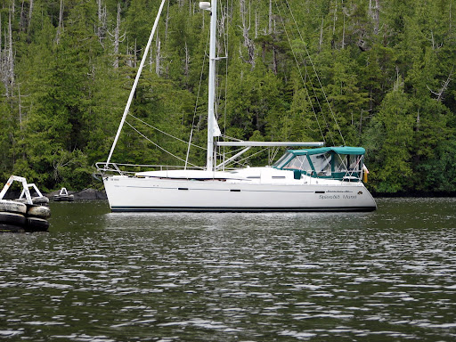
Splendid Mane tied to a mooring buoy in Columbia Cove

Sunday June 22 (HAPPY BIRTHDAY TO BECKY!!)
Depart: Klashkish Basin 0845
It looks like it will be a very nice day on the water. The sky is mostly clear with just a few scattered clouds, 10 C and a light wind. We stop for breakfast at the entrance to Klashkish, enjoying the sunny warm weather.
Arrive: Columbia Cove 1415 Lat: 50 08.38 Lon: 127 41.40
Trip Log: 418.0 nm

South to Brooks Peninsula

Saturday June 21
Depart: Gooding Cove 0800
Very foggy, winds calm, 12 C
Arrive: Klashkish Basin 1415 Lat: 50 15.32 Lon: 127 43.97
Trip Log: 390.6 nm Day: 19 nm
Klashkish Basin in just on the north side of Brooks Peninsula. On our trip today we saw a couple brown pelicans, some minke whales and lots of sea otters and seals.

Thursday, June 19, 2008

Friday June 20
Depart: Chapman Islet, Koskimo Bay 1330
Cloudy, raining lightly 12 C
Arrive: Gooding Cove 1700, Lat: 50 23.99 Lon: 127 57.19
Trip Log: 367.9 nm Day: 10 nm
We hung around all morning because we had a great connection on the internet. On our way out of the inlet, we tried fishing (no luck yet!) and then decided, despite the weather forecast of 25 - 30 knots of wind, that we would attempt to get out of Quatsino and head a little further south towards Brooks. As we stuck our noses out, we decided it was not worth the rough weather to get only a few miles, so we tucked into an out of the way bay for the night with a couple kayakers.
The winds are howling out on the coast, so this is a good time to enjoy our quiet little anchorage, do some looking around, even in the rain and nasty weather.

Koskimo Bay anchorage


Thursday June 19
This is another day of sitting and relaxing while the winds howl out on the coast. We are still at anchor in Koskimo Bay and it has been raining all day so far. I went out earlier this morning for a low tide exploration while Jerry got some time to himself on the computer. I have enough mussels for dinner tonight, they are the big California mussel, so I would think that 4 or 5 each will be plenty. I'll let you know how dinner turns out.
Hopefully the weather clears a bit and we can move on tomorrow. Our plan is to get to an anchorage just north of Brooks Peninsula in Klaskino Inlet. We may spend a day or so there, and then sail around to the south side of Brooks and do some kayaking around the Bunsby Islands.

Wednesday, June 18, 2008

Quatsino Light House Station

Ron and Rene, Quatsino Light House Keepers.

Ron calling in the 9:30 weather report.
The view from their house.
Wednesday June 18
Depart: Winter Harbour 0745
Overcast 12 C, winds light
We are going to have breakfast and then go for a tour of the Quatsino Light House. Ron and Rene along with their 4 kids, border collie Tess, and assistant gave us a tour around the grounds. It is also home to a miniature horse and about 10 chickens, eagles, a deer or two and in the past they have had a cougar and a bear . It was very interesting to be able to see how the light house keepers live. They have been working as light house keepers since 1994 and it is easy to see they love their lives. In their past life, they were teachers in Prince George. They have a beautiful garden where they grow lots of fruit and vegetables, and best of all they are surrounded by the sea!
Ron had mentioned to Jerry that they had a web site so after a little searching I found it... here is the link.... http://www.fogwhistle.ca/thisandthat/index.html. It is a very good picture of what life would be like working as a light house keeper. Many thanks to Rene and Ron for sharing with us.
Arrive: close by Chapman Islet, Koskimo Bay Quatsino Inlet 1520
Lat: 50 27.57 Lon: 127 52.16
Trip Log: 355.8 nm
We put the prawn trap down in about 120 feet, not really feeling to optimistic, but the chicken skin was really starting to stink. :-)
We didn't travel far today, partly because we had the internet off a local tower and also, the weather is suppose to turn nasty tomorrow.
Heading south to Quatsino


Tuesday June 17
Depart: Sea Otter Cove, 0830
Raining, light winds, 11 C The weather pattern has definitely changed, we are seeing more rain and winds from the southeast.
We had a slight mishap on the way out of Sea Otter Cove at low tide, and of course I was in charge of the helm at the time. Hmmm, well we just barely touched bottom, and then had to quickly through it in reverse to get off the sand bar. Nothing serious, but another lesson to learn.
Arrive: Winter Harbour 1520 Lat: 50 30.91 Lon: 128 01.74
Trip log: 339.0nm day: 29.8 nm
We took our dingy to shore, and met the people who run the light house. They invited us to come visit them before we leave the area. The picture above is the old fish canning house at Winter Harbour. The sun did eventually come out, and we enjoyed happy hour outside in the warm sunshine.

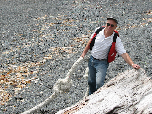
Rope on a dock.

Lowrie Bay Beach


Monday June 16
Today is a day of relaxation! We want to explore around this area and decided to go for a short hike to Lowrie Bay Beach. The 40 minute walk was through a bog, pretty much the whole way, so it was quite messy. But once we got to the beach, it was worth it. Very beautiful! We enjoyed just walking in the sand and surf, and beach combing, another favorite pastime.
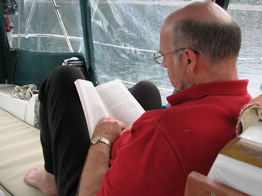
By the way.... the picture of Jerry reading the article titled "Life Begins at 50" seems to have mis-interpreted. Have another look at the picture, and if you click on it to make it bigger, you will see that 50 has nothing to do with age! :-)

Around the Cape!


Sunday June 15
Depart: Clam Cove 0600
Still overcast, maybe some sun breaking through, 11 C
Arrive: Sea Otter Cove, Vancouver Island 1500 Lat: 50 40.68 Lon: 128 21.07
Trip log: 309.1 nm day: 40 nm
Well we did it, and had some good sailing too! We listened to the weather forecast this morning and it sounded like a good day to make the turn around the north end of the island. It is something you have to plan carefully for because of the tides, currents, and winds. In the picture above, although no a very good picture, you can see what they call the "dancing waters". This is right at the tip where the currents from Queen Charlotte Sound meet the currents coming off the Pacific, causing the water to "dance". It was really quite interesting. After turning southwest, we had a nice sail until almost Sea Otter Cove (and yes we saw some sea otters).